Description
Give students focused reading practice and opportunities to explain their understanding.
- Grades: 2–5
- Format: Printable pages + Google Slides
Learning Objective
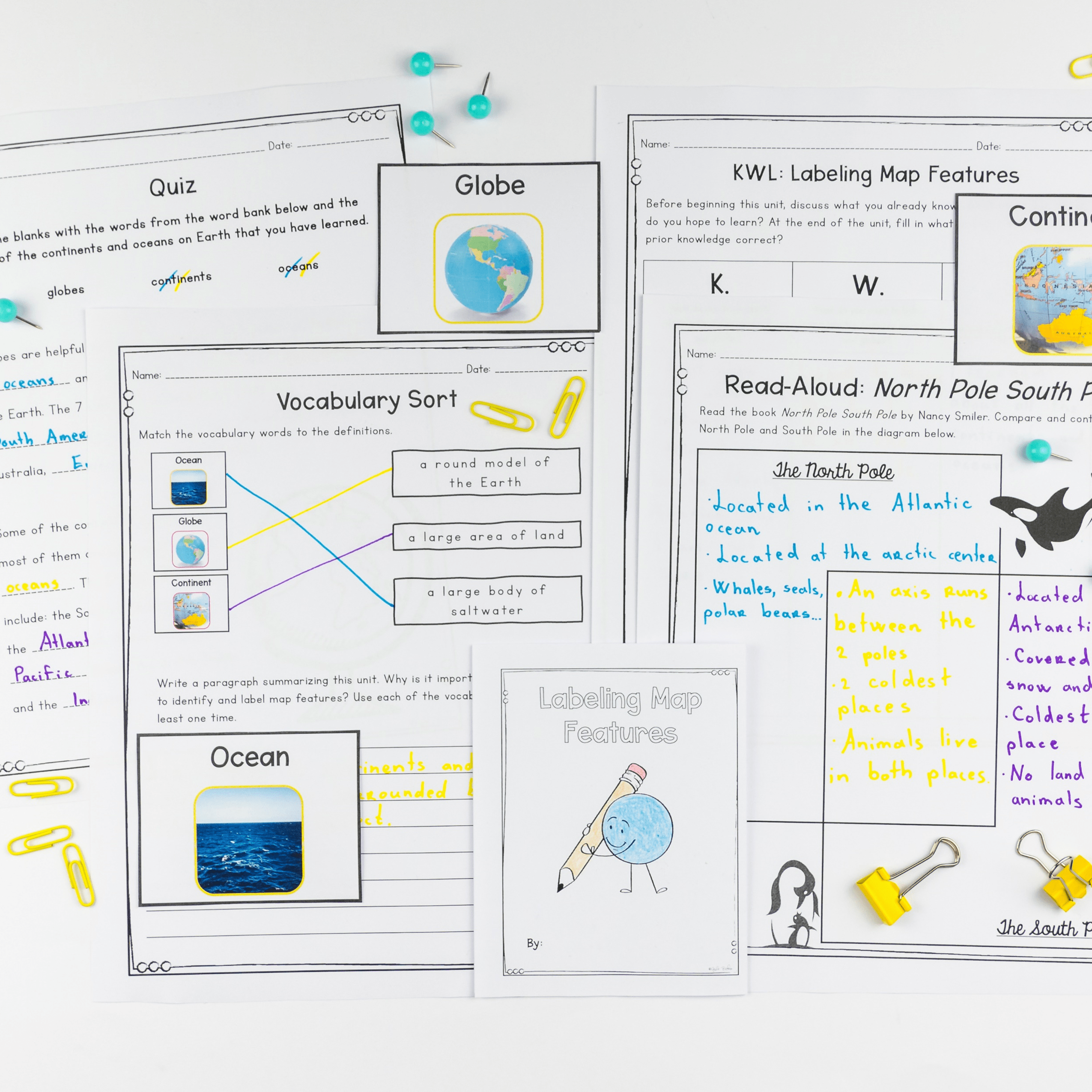
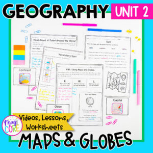
Students learn about map elements, how to use maps and globes, labeling map features, and locating countries in North America.
What's Included
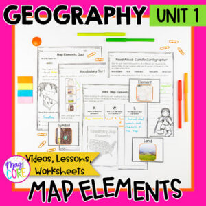
- Map Elements
- Using Maps and Globes
- Labeling Map Features
- Labeling Countries in North America
- The information provided in this unit is research-based. It was carefully created to be historically accurate and represent indigenous groups the way they wish to be represented. Graphics and photos were carefully selected to be as historically accurate as possible.
Ways to Use
Whole-class instruction, small groups, independent practice, or enrichment.
Preparation
Preview the student pages, choose the activities, and print the pages you need. For digital use, check device and internet access and assign the version you will use.
Standards & Skills
Students learn about map elements, how to use maps and globes, labeling map features, and locating countries in North America.
Growing bundle: future additions are included as stated in the original listing. Check the included titles before buying individual resources.
Only logged in customers who have purchased this product may leave a review.




Lindsey Perkins –
I love how put together this unit is! Everything you need is right here from slides to videos to activities and assessments.
Ashley F. –
My district does not have a social studies curriculum, and this resource did an amazing job helping us meet our geography standards!
Kara M. –
Easy to use and very well-designed. Saved me time and kept my students engaged. Will definitely buy from this seller again!
Krista H. –
This was a great resource to help reinforce the concept.